![]()
United
Nations
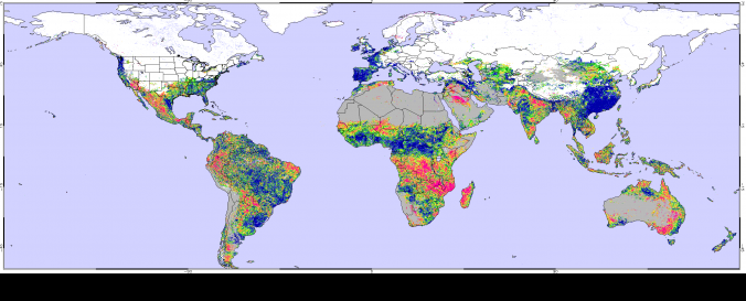
STAR - Global Vegetation Health Products (NOAA)
| Data provided by: | National Oceanic and Atmospheric Administration (NOAA) |
| Data accessibility: | export data, visualization of data (e.g. web GIS or real time monitoring) |
| Link to the data: | |
| Data type: | hazard specific data, land use, land cover data |
| Hazard: | Forest Fire, Drought, Flood |
| Disaster cycle phase: | Disaster Risk Management |
| Spatial coverage: | Global |
| Spatial resolution: | 4000m-16000m |
| Temporal coverage: | Archive, Near-real time |
| Content dates: | 2005-today |
| Technical Specifications: | |
| Costs: | free |
Provider
![]()