![]()
United
Nations
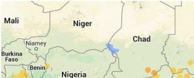
Fire Detection and Monitoring (AFIS - CSIR)
| Data provided by: | South African National Space Agency (SANSA), South African Weather Service, European Centre for Medium-Range Weather Forecasts (ECMWF), Council for Scientific and Industrial Research (CSIR), European Organization for the Exploitation of Meteorological Satellites (EUMETSAT), Cooperative Institute for Meteorological Satellite Studies / University of Wisconsin-Madison (CIMSS-WISC), National Aeronautics and Space Administration (NASA) |
| Data accessibility: | visualization of data (e.g. web GIS or real time monitoring), web processing/cloud computing |
| Link to the data: | |
| Requirements: | Free Registration Required for Data Downloading |
| File type: | webmap |
| Data type: | hazard specific data |
| Hazard: | Forest Fire |
| Disaster cycle phase: | Disaster Risk Management, Response, Recovery |
| Space-based Information: | MODIS,MSG, VIIRS,GOES |
| Spatial coverage: | Global |
| Spatial resolution: | 250.00 |
| Temporal coverage: | Archive, Near-real time |
| Content dates: | June 2007 |
| Technical Specifications: | |
| Costs: | free |
| Contact: | Contact Form |
| Tutorials on the use of data: | Help, How to read the SMS fire alerts |
| Restrictions/ Citation of the dataset: |
Provider
![]()