![]()
United
Nations
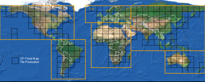
Near Real-Time Global MODIS Flood Mapping (NASA)
| Data provided by: | National Aeronautics and Space Administration (NASA) |
| Data accessibility: | export data, export map, visualization of data (e.g. web GIS or real time monitoring) |
| Link to the data: | |
| Data type: | hazard specific data |
| Hazard: | Flood, Severe Storm |
| Disaster cycle phase: | Response, Recovery |
| Space-based Information: | MODIS/Aqua, MODIS/Terra |
| Spatial coverage: | Global |
| Spatial resolution: | 250.00 |
| Temporal coverage: | Near-real time |
| Technical Specifications: | |
| Costs: | free |
| Contact: | "Contact Us" Link on Website |
| Tutorials on the use of data: | Read Me, NRT Global Satellite Monitoring of Flooding Events Poster, NRT Global Satellite Monitoring of Flooding Events PPT Presentation |
| Restrictions/ Citation of the dataset: |
Provider
![]()