![]()
United
Nations
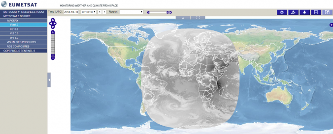
EUMETSAT Image Gallery
| Data accessibility: | export data, visualization of data (e.g. web GIS or real time monitoring), web processing/cloud computing |
| Link to the data: | |
| Data type: | satellite data or aerial image |
| Hazard: | Epidemic, Harmful Algal Bloom, Insect Infestation, Forest Fire, Drought, Earthquake, Tsunami, Volcanic Eruption, Flood, Severe Storm, Extreme Temperature, Pollution |
| Space-based Information: | Map Viewer that allows downloading and time series creation of meteosat products. |
| Satellites and Sensors: | Meteosat-8 (SEVIRI) |
| Spatial coverage: | Global |
| Technical Specifications: | |
| Costs: | free |
| Contact: | Contact |
| Restrictions/ Citation of the dataset: |
Provider
![]()