![]()
United
Nations
ClimateViewer Mobile 2D Webmap + 3D Globe
| Data provided by: | Jim Lee |
| Data accessibility: | visualization of data (e.g. web GIS or real time monitoring) |
| Link to the data: | |
| Data type: | hazard specific data, satellite data or aerial image |
| Disaster cycle phase: | Disaster Risk Management, Response, Recovery |
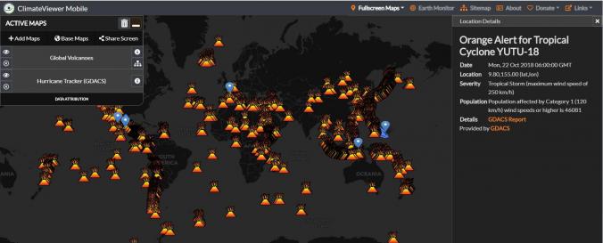
| Space-based Information: | The data gathered and made accessible in the ClimateViewer web map is pulled from different government, university and private sources. The web map presents over 500 data sources, grouped by hazard type and with links to further information on the data sources used. Hazard maps for fire for example apply the same data sources as NOAAs hazard map as well as the NASA's Fire Information for Resource Management System (FIRMS). |
| Satellites and Sensors: | Aqua, Terra, Suomi NPP, SMAP, GCOM-W1 (AMSR2), Meteosat-8 (SEVIRI), GOES-16 |
| Spatial coverage: | Global |
| Spatial resolution: | Depending on satellite source |
| Temporal coverage: | Archive, Near-real time |
| Content dates: | Historical archive - today |
| Costs: | free |
| Contact: | Jim Lee |
| Restrictions/ Citation of the dataset: | © Copyright 2011-2018 Jim Lee, ClimateViewer News, LLC. Terms of Service. All Maps, Imagery, and Content on ClimateViewer.org is protected by the Creative Commons Attribution-NonCommercial 4.0 International (CC BY-NC 4.0) License. • Web Design by Jim Lee |
Provider
![]()