![]()
United
Nations
Images Catalog (INPE)
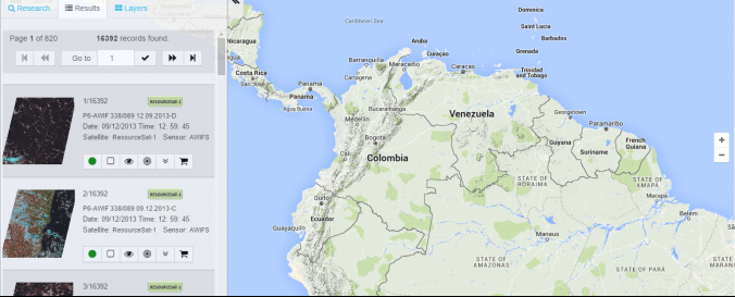
| Data provided by: | National Institute for Space Research (INPE) |
| Data accessibility: | export data, export map, statistical data (e.g. graphs), visualization of data (e.g. web GIS or real time monitoring) |
| Link to the data: | |
| Data type: | baseline data, hazard specific data, land use, land cover data, satellite data or aerial image |
| Hazard: | Drought, Earthquake |
| Disaster cycle phase: | Disaster Risk Management, Response, Recovery |
| Spatial coverage: | Global |
| Temporal coverage: | Archive, Near-real time |
| Costs: | free |
| Restrictions/ Citation of the dataset: |
Provider
![]()